The image of the city
Many cities have invested in the creation of map databases to support the delivery of wayfinding systems.

Many cities have invested in the creation of map databases to support the delivery of wayfinding systems. But why would a city commit to such investment and effort, considering the availability of free mobile map services and widespread Open Data?
American urban planner Kevin A. Lynch coined the term wayfinding in his most famous work “The Image of the City” (1960). The book reports that users understand their surroundings in consistent and predictable ways, forming mental maps with five elements: paths, edges, districts, nodes and landmarks. Nowadays city wayfinding systems across the world – often known as ‘legible city’ projects, named after the original Bristol Legible City initiative – rely heavily on bespoke maps to support the creation of mental maps.
As demonstrated in cities such as London, New York and Toronto, effective mapping requires editing vast amounts of data down to a manageable amount of information. Building stakeholder and public consensus around a map style suitable to display street names, destinations and transit stops, while still revealing the unique character of a city and its neighborhoods, is not an easy task. There is never a one-size-fits-all solution.
Maps for walking
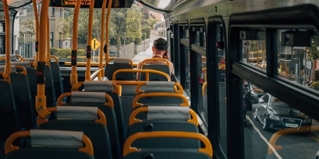
People walking through a city can feel at their most vulnerable in unfamiliar environments. Pedestrians are more exposed to the elements and may be unwilling to explore beyond their comfort zone or commit to a long walk. The availability of on-street pedestrian maps caters for the informational needs of people who have a destination in mind or are in need of general orientation and reassurance.
Evidence gathered through Steer Davies Gleave’s evaluation of the Legible London program in the UK¹ confirms that a consistent network of maps and signs reassures pedestrians and increases their confidence to explore. Additionally, design mechanisms such as the inclusion of walking time – as opposed to distance in meters – reduces the perception of the time required to make a journey on foot.
Walking is key to the success of multimodal networks. Purposeful walking is required at both ends of a journey and in interchange environments, including those integrated into the urban realm. Effective city wayfinding maps should support visitor exploration and discovery, but also enable residents to connect seamlessly to and from transit, bike hire or private vehicles.
Maps as assets
The benefits of installing high-quality (albeit costly) on-street pedestrian wayfinding signs can be amplified by the implementation of consistent mapping in existing infrastructure at marginal additional cost.
Investing in a robust map asset database will benefit the delivery of a wayfinding program and would also benefit third parties such as transit agencies, operators or private companies, who in return will deliver city wayfinding information through their own information and signage systems.
Steer Davies Gleave’s TO360 wayfinding pilot implementation for the city of Toronto initially consisted of 20 new maps and directional signs in the Financial District. This relatively small scheme was intensified thanks to a joint effort with TTC (Toronto Transit Commission) that led to the implementation of new bus shelter posters combining walking maps with local transit information. Furthermore, wayfinding maps were installed in Union Station to welcome passengers arriving from the airport to downtown Toronto via a third-party map-sharing agreement with Union Pearson Express.
The consolidation of mapping assets in a single database allows the authorities to retain control over the map content and enables the production of printed and online products. Once the database is set, data can be made available to city departments or third parties to produce their own map products. These can become additional delivery vehicles to maximize the benefits and awareness of a city wayfinding initiative without incurring additional infrastructure cost.
Steer Davies Gleave is currently supporting the cities of Toronto and Bologna in the delivery of pedestrian wayfinding strategies.