We’ve all got access to mobile mapping and A-to-B directions in the palm of our hands, so how does a map with signage along that route add to a person's experience?
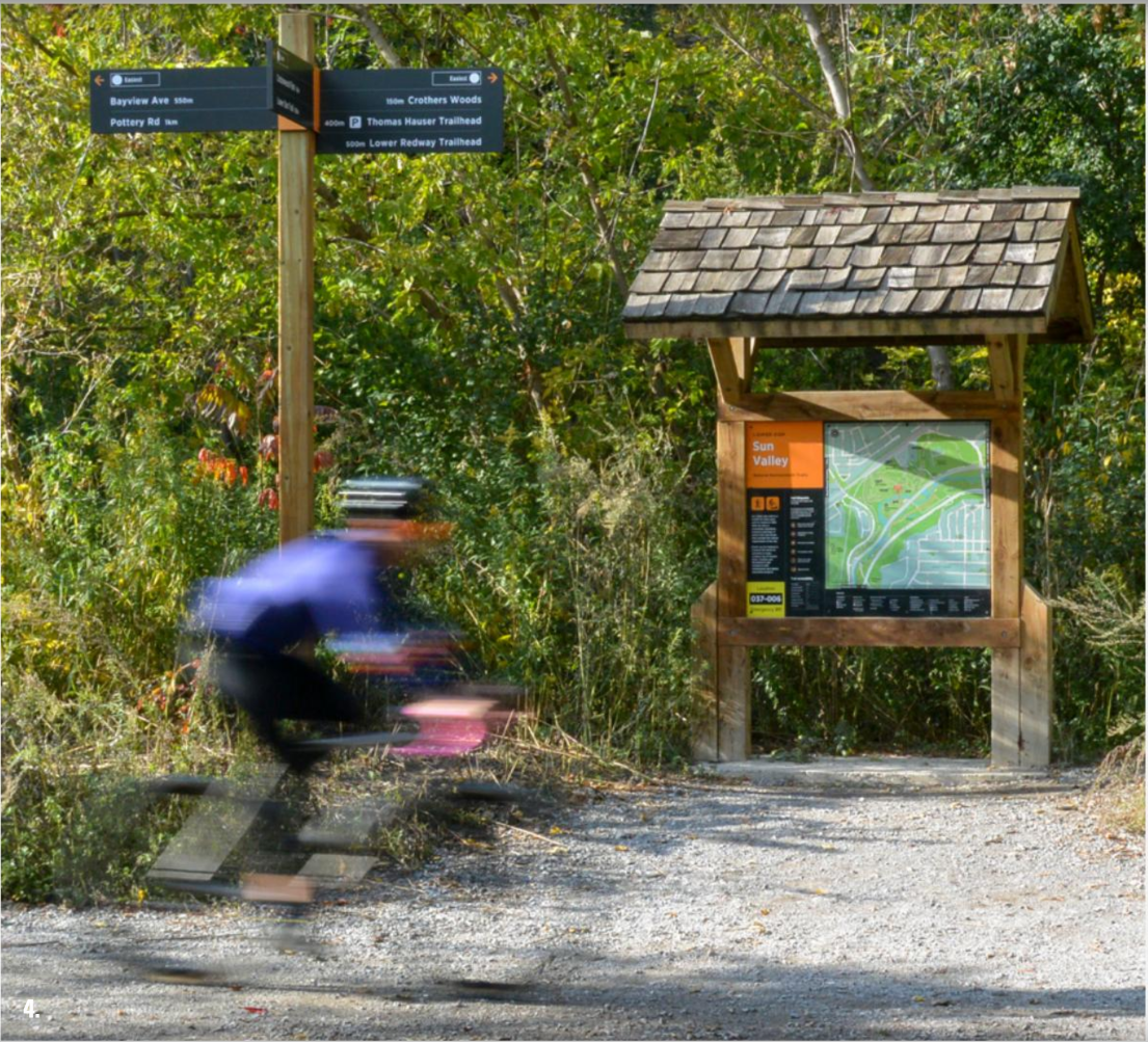 At Steer, we use cartography as a key communication tool alongside signage to tell the story of a place and to invite visitors and local users to explore an area.
By providing a clear heads-up map (oriented to the direction you are facing) and signposting local attractions, we give users the confidence to access those locations, increase footfall in the surrounding areas, and promote active travel between those key destinations.
Designing the complementary look and feel of such infrastructure can help to add a sense of history, nature, or excitement to someone’s otherwise mundane A to B journey. Enhancing that experience means they’ll likely want to do it again and encourage others to do the same.
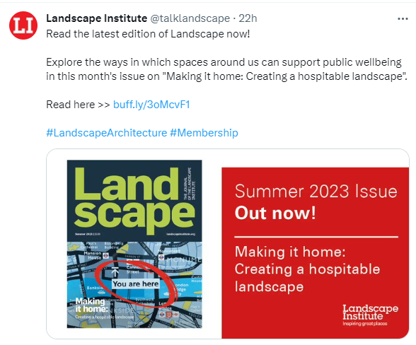
Steer features in the latest edition of the Landscape Institute magazine entitled "Making it home: Creating a hospitable landscape.". Four of our projects are showcased as case studies that illustrate current approaches to not only providing direction and control, but also offering comfort and support.

For more information or examples of how we can add value and support to your local area through signs, maps, and other placemaking strategies, please get in touch.
Clare Seldon, Associate, Steer
The creation of maps and signpost schemes offer a form of welfare, an embrace of the visitor that says, 'you are welcome in this place'.
 issuu.com/...